↓
JAVASCRIPT IS DISABLED. Please enable JavaScript on your browser to best view this site.
Colorado Springs Land Surveying
Search for:
Local Land Surveyors in Colorado Springs, CO
Colorado Springs Land Surveying
Home
ALTA Survey
Boundary Surveying
Construction Survey
Drone LiDAR Mapping
Elevation Certificate
Land Surveying
Topographic Survey
Blog
Contact Us
Home
→
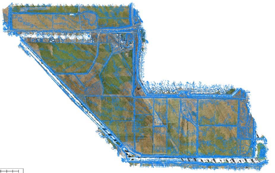
Drone LiDAR Mapping
→
CAD Overlay
Image navigation
← Previous
Next →
CAD Overlay
Published
March 30, 2025
at
925 × 585
in
Drone LiDAR Mapping
Image navigation
← Previous
Next →
↑