Why Hillside Lots in Colorado Springs Make Topographic Surveys More Important Than Owners Realize
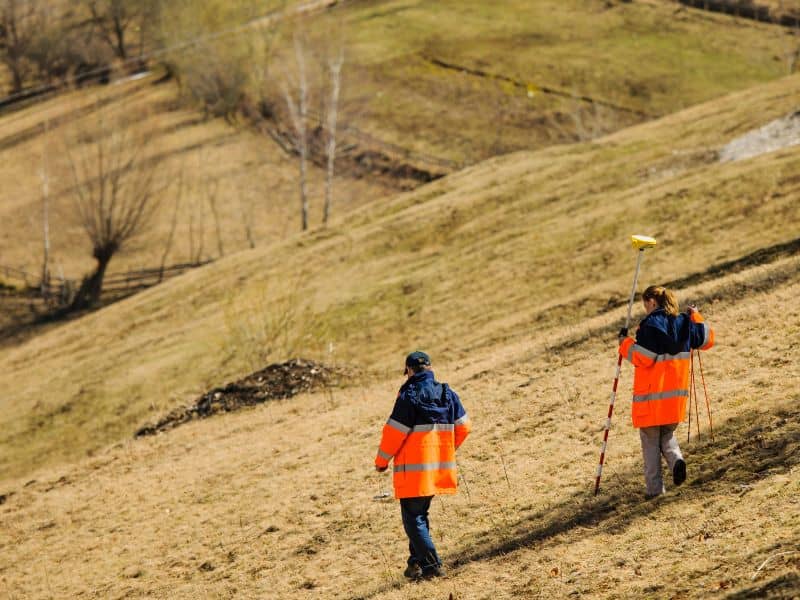
Colorado Springs sits where the plains meet the Rockies. That gives hillside buyers something flat-lot owners never get, a view that stretches for miles. The same slope that creates the view also creates conditions a flat lot never has to deal with. A topographic survey maps those conditions before a shovel touches the ground. It shows how the land rises, falls, and drains across the property. Owners who skip this step often learn the hard way that a beautiful lot and a buildable lot aren’t always the same thing.
Why Colorado Springs Terrain Creates Different Challenges From Flat Lots
A flat lot rarely surprises a builder. The ground sits at one elevation, and water moves in predictable directions. Hillside parcels in Colorado Springs work differently, since the ground itself can shift in shape from one corner of the lot to the other.
Foothill terrain along the Front Range can change twenty or thirty feet in elevation across a single lot. That affects where a house can sit, how a garage connects to the street, and how much yard space stays usable once grading limits apply. A topographic survey turns those unknowns into real numbers. It maps the land so an owner can see its true shape instead of guessing from a walk-through. This matters most before design begins, not after, because changing course once a floor plan is set gets expensive fast.
Water Always Follows the Slope, Whether Owners Plan for It or Not
Water doesn’t care about property lines or building plans. It just moves downhill. Summer storms in Colorado Springs can drop heavy rain fast. On a sloped lot, the direction water travels can decide whether a foundation stays dry or a basement floods.
A topographic survey shows exactly where the high points and low points sit on a property. That tells an owner how runoff will behave once construction disturbs the ground. Without it, a homeowner installing a driveway or a patio is really just guessing which way water will run after the slope gets reshaped. Put a retaining wall in the wrong spot, and water that used to spread out across open ground can push against a foundation wall instead. Builders use this elevation data to plan drains and grading that move water away from structures. Skipping that step doesn’t make the water disappear. It just lets the slope decide where the water goes.
Views and Building Sites Rarely Compete for the Same Space
Most buyers choose a hillside lot in Colorado Springs for one reason, the view. A ridge line or a clear sightline toward Pikes Peak can sell a property before a buyer even checks the soil. The trouble is that the best view and the easiest place to build are often two different spots on the same lot.
A steep ridge edge might offer the most dramatic scenery. That same edge can come with grading limits or drainage paths that make construction there difficult. A topographic survey separates the buildable area from the scenic high points, so a designer can see where the two overlap and where they don’t. This often changes how a house gets placed, sometimes pulling it back from the slope’s edge to protect both the view and the structure. A deck or a window wall can often capture most of a view without putting the foundation itself in a risky spot.
Elevation Changes Influence More Than the House Itself
A house footprint is only part of what a slope affects. Driveways on hillside lots need a workable grade for everyday use. Colorado Springs winters make that even more important, since ice and snow can turn a steep driveway into a daily hazard. Walkways, patios, and outdoor living spaces all answer to the same elevation changes that shape the home’s foundation.
A topographic survey gives designers the numbers they need to plan around several things tied directly to the slope.
- Driveway grade and turning room near the street
- Patio and deck placement relative to the slope
- Access paths to the lower or upper portions of the lot
- Retaining wall height and placement where grade changes sharply
Landscaping runs into the same questions. A planting bed that looks fine on flat ground can wash out completely on a slope without the right grading underneath it. Even reaching the back corner of a hillside lot on foot can become a design problem if the survey isn’t part of the planning from the start.
Topographic Surveys Help Designers Work With the Land Instead of Against It
Architects and engineers who work on hillside lots in Colorado Springs rely on topographic data the same way a tailor relies on measurements. The plan only fits well when the numbers are accurate. Contour lines and slope percentages give a designer the real shape of the property before a single line gets drawn on a floor plan.
Working with the land usually means less grading, not more. A house that follows the natural contour of a slope often needs less excavation than one that fights against it. That difference shows up directly in cost. Builders who start with accurate topographic data can plan foundations, walls, and drainage as one connected system. They don’t have to solve each problem on its own mid-build. The lots that turn out best on Colorado Springs hillsides are usually the ones where the design worked with the terrain, not against it.
Frequently Asked Questions
Why are topographic surveys especially useful for hillside properties?
Hillside properties have elevation changes that flat lots don’t. Those changes affect drainage, access, and where a home can sit. A topographic survey records the exact shape of the land, so builders work from real information instead of a guess.
Can a topographic survey help with retaining wall planning?
Yes. Elevation data shows where the grade changes sharply enough to need a wall instead of a simple slope. Engineers use that information to decide how tall a wall needs to be and where it should go. Getting this right early helps avoid costly redesigns later.
Why do sloping lots require more planning than flat properties?
Flat lots rarely raise questions about drainage or usable space, since the ground stays consistent. Sloped lots bring up all three at once, because water runs differently and not every part of the lot is easy to build on. That means a sloped lot needs more groundwork before design decisions get locked in.
Do topographic surveys show how water moves across a property?
Yes. A topographic survey records elevation points across the lot, and those points reveal which direction water will travel during a storm. Designers use that data to plan drainage and grading that keep water away from foundations and outdoor spaces.
Who typically uses the information from a topographic survey?
Architects, engineers, and builders rely on topographic surveys to design homes that fit the property’s real terrain. Landscape designers use the same data to plan grading and outdoor spaces that hold up over time. Owners benefit too, since the survey shows what their lot can realistically support before construction begins.