The boundary survey price question comes up constantly, and the answer is never a single number. Most people hear a figure from a neighbor or find a range online and assume that is what they will pay. Then they get their own quote and wonder why it looks different. This article explains how boundary survey pricing actually works and what is reasonable to expect.
What a Boundary Survey Actually Does
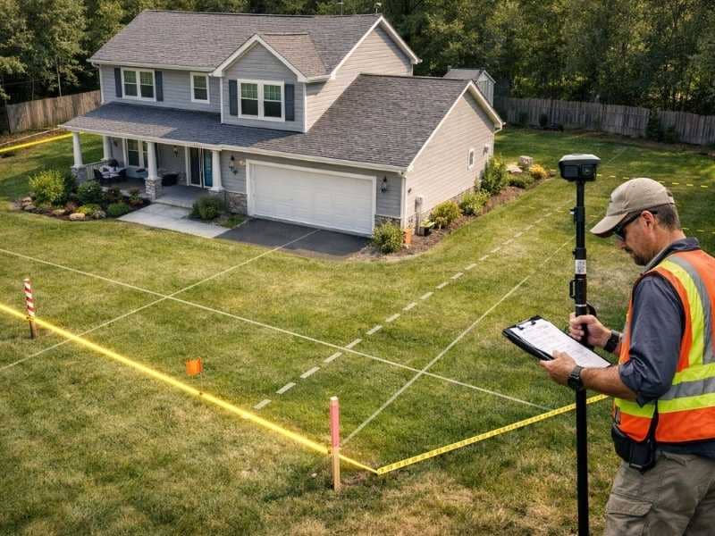
A boundary survey establishes the legal edges of a piece of land. A licensed surveyor researches the property records, goes out to the site, locates or sets physical markers at the corners, and produces a certified document showing exactly where the property begins and ends.
It is the only survey type that creates a legally defensible record of where your property lines sit. That distinction matters when you are dealing with permits, disputes, sales, or any kind of construction near the edges of your lot.
What the Price Range Looks Like in Colorado Springs
For a standard residential lot in Colorado Springs, a boundary survey typically costs between $500 and $1,500. Rural properties, larger parcels, and lots with complicated histories tend to sit at the higher end or above it.
That range reflects the minimum scope of a clean, straightforward job. Properties with complicating factors can push the price higher, and understanding those factors helps you interpret any quote you receive.
What Pushes a Boundary Survey Price Higher
The Number of Corners
Every corner of your property has to be located in the field and tied back to the legal description. A four-corner rectangular lot is the simplest possible job. Properties with multiple angles, irregular shapes, or curved boundaries have more corners to establish, and each one adds time.
How Much Research the Job Requires
A boundary survey always starts with a records search. The surveyor pulls the deed, reviews prior surveys, checks adjoining parcels, and builds a legal picture of the property before any fieldwork begins. If prior surveys exist and records are consistent, that phase moves quickly. If there are gaps, contradictions, or a long chain of ownership without clear documentation, the research alone can add several hours to the job.
Whether the Original Corners Are Still There
When monuments set by a previous survey are still in the ground and in good condition, the field crew can work from them efficiently. When they are gone, buried, or disturbed, the surveyor has to re-establish those points through calculation and additional fieldwork. That takes more time and raises the final price.
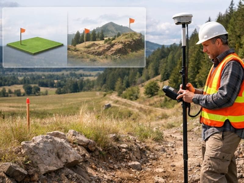
Rural Location and Site Conditions
Properties on the outskirts of Colorado Springs or in the surrounding El Paso County area often involve longer drive times, less accessible terrain, and fewer nearby reference points for the crew to work from. All of those factors add time, and time is the primary cost driver in any boundary survey.
When You Actually Need a Boundary Survey
Not every situation calls for a boundary survey, but several common ones do.
You need one when you are selling or buying property and the transaction requires a current survey. You need one when you plan to build anything near the edges of your lot and want to confirm you are within your legal boundaries. You need one when a fence line, driveway, or structure on a neighboring property appears to be crossing onto your land. You also need one when a lender or title company requests it as a condition of closing.
If you are simply curious about where your lot ends and the neighbor’s begins, a boundary survey is the right tool. A conversation or an old plat is not a substitute for a certified, stamped document.
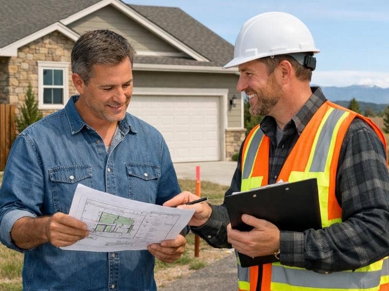
What You Get When the Survey Is Done
At the end of the process, you receive a survey drawing that shows your property’s legal boundaries, the location of corners, any encroachments or easements identified during the research phase, and the surveyor’s stamp and certification. That document is what gets used by title companies, attorneys, lenders, and permit offices.
Keep it on file. Future owners of the property, your own future projects, and any legal questions that come up later will benefit from having it accessible.
Frequently Asked Questions
Why does my boundary survey quote look higher than what I found online?
National price averages are based on data from across the country and reflect conditions in flat, heavily surveyed areas where records are clean and fieldwork is simple. Colorado Springs sits in more varied terrain, with older rural parcels and properties that sometimes have complicated ownership histories. Local pricing reflects local conditions, not national averages.
Is a boundary survey the same as a property survey?
The terms are often used interchangeably, but they are not always the same thing. A boundary survey specifically focuses on establishing legal property lines. A property survey is a broader term that can refer to several different products depending on who is using it. When requesting a quote, always ask what type of survey is being proposed and what it will document.
Do I need a new boundary survey if one was done ten years ago?
It depends on what has changed. If structures have been built, fences have been moved, or easements have been granted since the last survey, a new one is advisable. If nothing has changed and the original survey was done by a licensed professional, some transactions will accept it. Your title company or attorney is the right source for guidance on whether your specific situation requires a new survey.
Can a boundary survey be used for a permit application?
In most cases, yes. Building departments in Colorado Springs and El Paso County routinely accept boundary surveys as part of permit applications, particularly for structures near setback lines. Check with the relevant permit office to confirm what documentation they require before your survey is ordered.
What happens after the boundary survey is complete?
The surveyor delivers a certified drawing and, in most cases, sets or resets physical markers at your property corners. You should receive a digital copy of the final document along with any physical copies required by the transaction. If the survey was ordered for a real estate closing, it typically goes directly to the title company as part of the closing package.